
Anything built after handover
The developer's drawings describe the building as it was sold, not as it has been altered across a decade of fit-outs. Demising walls move, openings get cut, and mezzanines appear. The original set records none of it.

Strata-Titled Commercial & Industrial · Metro Vancouver
A strata building is one structure with a dozen owners, and that changes what documenting it means. There is no single custodian of the drawings, no one party who can authorise access to the whole building, and usually no set that covers both the units and the common property to the same standard. We scan strata commercial and industrial buildings in LiDAR and produce one measured record of the whole property — the units, the common areas, and the parts that sit between them.
In a single-owner building the drawing set has an obvious home. Somebody owns the property, somebody holds the file, and when a set goes stale it is one party's problem to fix. A strata building has none of that. Ownership is divided into strata lots, the parts nobody owns individually are held by the strata corporation, and the record follows the same split — each owner keeps whatever their own fit-out produced, and the corporation keeps whatever the developer handed over years ago.
The practical result is a building documented in fragments, at different times, by different hands, to different standards. One unit has a full CAD set from a fit-out three years ago. Two units either side have a marketing plan and nothing else. The corridor between them exists on a developer drawing that predates every alteration since. None of it lines up, and nobody in the building can say with confidence what the whole property actually measures.
That is a documentation problem before it is anything else, and it surfaces at the worst moments. A capital project on the common property gets tendered against a plan that no longer matches the corridor. Two owners disagree about a shared wall and discover neither of them has a measurement. A prospective buyer asks for the floor area of a unit and gets three different answers depending on which drawing is opened.
Scanning the property in a single coordinated pass fixes the thing that is actually broken: not the accuracy of any one drawing, but the fact that the drawings were never made to agree with each other.
A strata building has parts that belong to an owner, parts held in common, and parts designated for one owner's exclusive use. A survey records the built condition of all of them to the same standard — which part is which is a matter for the registered strata plan, not for the scan.
| Part of the property | What the survey records | Who usually asks for it |
|---|---|---|
| Part of the propertyInside a strata lot | What the survey recordsFloor plan, wall positions, door and opening dimensions, ceiling heights, visible services, finished areas | Who usually asks for itThe owner or their tenant, ahead of a fit-out, a sale or a lease |
| Part of the propertyThe demising walls between lots | What the survey recordsMeasured wall positions and thicknesses, and where the built wall departs from the line an older drawing shows | Who usually asks for itOwners either side of a shared wall; the corporation when an alteration is proposed |
| Part of the propertyLimited common property | What the survey recordsLoading bays, parking stalls, patios, storage and yard areas — located and dimensioned as built | Who usually asks for itThe corporation, and the owner whose exclusive use it is designated for |
| Part of the propertyCommon corridors, lobbies and stairs | What the survey recordsCirculation geometry, widths, door positions, finished ceiling heights and visible ceiling services | Who usually asks for itThe strata council and its manager, ahead of common-area work |
| Part of the propertyPlant, electrical and service rooms | What the survey recordsRoom geometry, equipment footprints and positions, clearances and visible distribution overhead | Who usually asks for itConsultants pricing a mechanical or electrical replacement |
| Part of the propertyParkade, exterior circulation and roof plant | What the survey recordsBay layout, drive aisles, ramp geometry, clear heights, and the footprint and access of rooftop equipment | Who usually asks for itThe corporation, for capital planning and for tendering |
Which parts of a building are strata lot, limited common property or common property is defined by the strata plan registered against the property and by the Strata Property Act. A measured survey records what is built; it does not determine or change that classification.
There is a line in strata work that is easy to blur and important not to. A registered strata plan is a legal instrument. It defines the strata lots and the common property, it is prepared by a British Columbia land surveyor, and it is registered in the Land Title Office. Amending it is a legal and survey process with its own requirements. We do not prepare strata plans, we do not amend them, and we do not interpret what one means for a particular dispute.
What we produce is a measured record of the building as it stands today. That is a different document with a different job. It tells you what is physically there — where the walls actually run, what a unit actually measures, how high the parkade actually is — and it is drawn from LiDAR rather than traced from whatever set happened to be in the file.
The two documents are most useful together, and the gap between them is often the point. Where the built condition disagrees with an older drawing, we record what was measured and flag the difference rather than quietly reconciling it. What that difference means, and what anybody should do about it, is a question for the corporation's manager, its legal advisor and, where boundaries are genuinely in question, a land surveyor.
A firm that offers to settle a boundary question with a tape measure is offering something it cannot deliver. We would rather be clear about the half of the job we do well than be vague about both halves.
These are the gaps that show up most often when a strata commercial or industrial property gets scanned for the first time.
The developer's drawings describe the building as it was sold, not as it has been altered across a decade of fit-outs. Demising walls move, openings get cut, and mezzanines appear. The original set records none of it.
Corridors, lobbies, service rooms and parkades tend to be the least documented parts of the property, because no individual owner has ever needed a drawing of them and the corporation has never been asked for one.
Unit plans made by different firms at different times measure to different conventions. Put side by side they cannot be stacked or totalled without somebody deciding which convention wins.
Clear height governs racking in an industrial unit and equipment in a commercial one, and it is almost never on a plan drawn for marketing. Where a strata unit has a mezzanine, its headroom above and below is rarely recorded at all.
Existing condition can only be documented while it still exists. Once an owner's fit-out is built, the condition it replaced is gone, and no later survey can recover it.
Each strata lot carries a unit entitlement, the figure that sets its share of the common expenses, and it is filed as a schedule with the registered strata plan. It is a legal figure with its own basis, and it is not produced by measuring the unit today. So expect a measured area and an entitlement figure to differ, sometimes noticeably, and do not treat one as a correction of the other. If the difference matters to a decision — a cost allocation, a sale, a dispute — that belongs with the corporation's manager and its legal advisor, not with the survey. What we can do is give every party one measurement made the same way across the whole building, so the conversation at least starts from a single set of numbers.
The coordination is the hard part, not the scanning. Access to a strata building is many small permissions rather than one, so scope and scheduling are agreed before anyone arrives.
Usually the strata council or its manager for common property, or a single owner for their own lot. The two are often worth doing together, but they can be scoped separately and the scope decides what gets scanned.
Every occupied unit is somebody's premises, and entry is arranged through the owner or the tenant on their terms. Which units are in, which are out, and what notice each occupier needs are settled at scope, not on the morning.
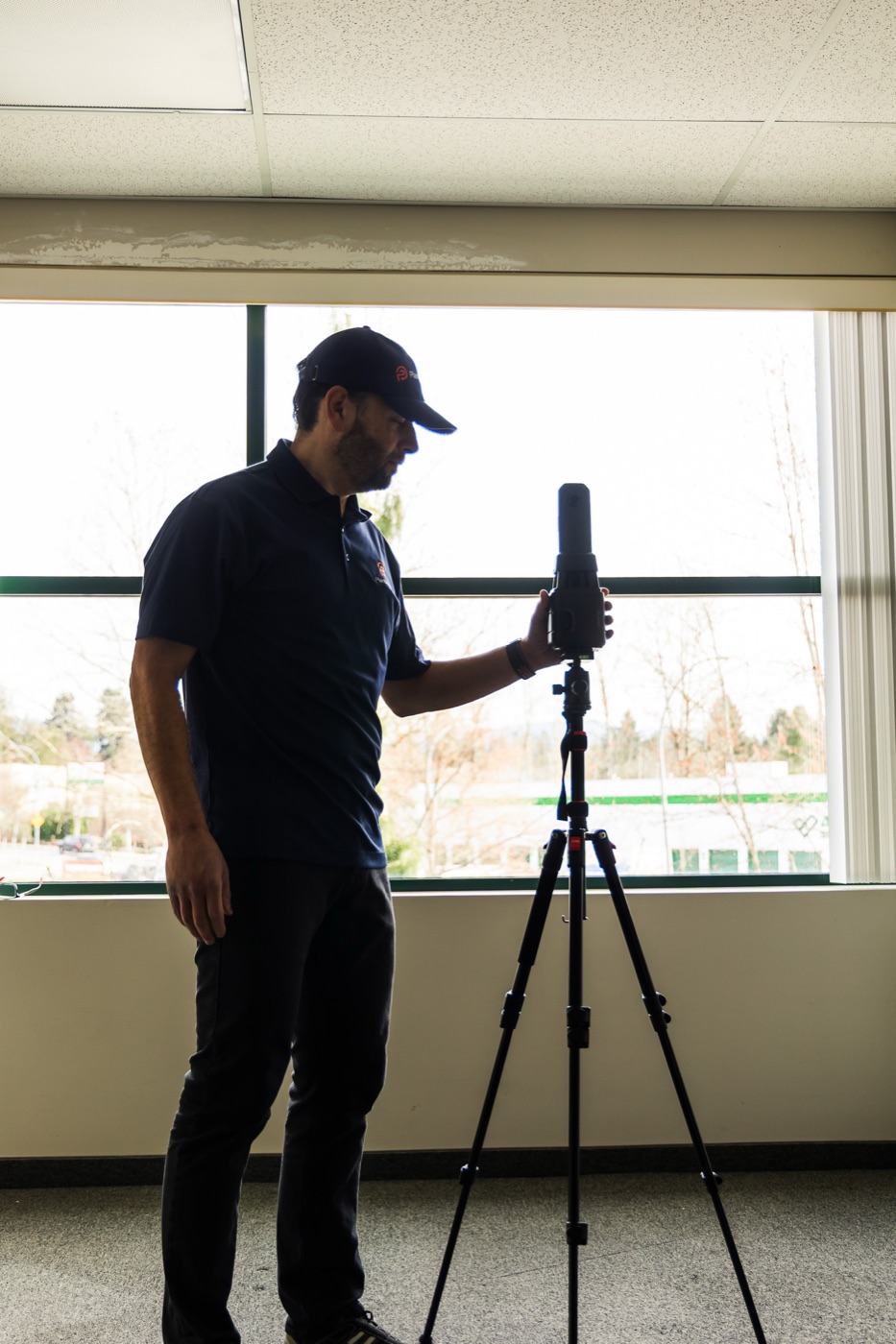
The iGUIDE PLANIX is tripod-mounted and moved by a single operator on foot. Working through the building in one visit is what makes the resulting areas comparable, because everything is captured by the same method on the same day.
Plans are drawn from the point cloud rather than traced from an older set, using one drafting convention across every unit and every common area. Where a legacy drawing disagrees with what was measured, the measurement governs and the difference is flagged.
PDF plans and a walkable 3D tour first, DWG for consultants, and a Revit model where a project runs in BIM. Owners can be given their own unit, and the corporation the property as a whole.
Our own scanning work in commercial space that is still in use.
In a single-owner building, one conversation gets you through every door. In a strata, each occupied unit is a separate negotiation with a separate business, and that is the constraint that shapes the whole job. A survey of eight units is eight arrangements, and the one occupier who cannot accommodate the date determines whether the pass is complete.
It goes better when the scope is honest about that from the start. Units that are vacant or between tenants scan fastest and cleanest, and where a corporation is documenting the property for the first time, catching a unit while it is empty is worth planning around. Occupied units are scanned around their contents in the ordinary way — stock, racking, furniture and equipment stay where they are, and anything genuinely obscured is flagged rather than estimated.
The 360° imagery deserves a word, because it is the part occupiers ask about. It records the space as it looked on the day, including whatever was on the desks and the shelves. Where an occupier would rather that not be captured, the answer is scheduling and scope — scanning outside their hours, or leaving a specific area out — and that is easier to agree in advance than to work around in the middle of a visit.
Site conditions in strata industrial parks are the same as in any working industrial building: high-vis, boots, an escort where the occupier requires one, and shipping and receiving worked around rather than interrupted. Raising these at scope is what keeps a multi-unit pass to a single day.
The clearest return is on capital work. Common-area projects — a corridor refit, a lobby, a mechanical replacement, a parkade repair — get priced by consultants and contractors working from whatever drawing the corporation can supply. When that drawing is a developer plan that predates two decades of alteration, the pricing carries a contingency for the unknown, and the unknowns surface during construction where they cost the most. A current measured set removes a category of surprise from every tender the corporation runs.
The second return is on comparability. Once every unit and every common area has been measured the same way on the same day, areas can be totalled and stacked without anybody arbitrating between three survey methods. That does not settle any legal question about the property, and it is not meant to; it settles the far more common practical one, which is simply what the building measures.
Long-term planning is where the record earns its keep quietly. Strata corporations plan for the replacement of major components over long horizons, and those exercises are only as good as the description of the building underneath them. Whether and when a particular corporation must obtain a depreciation report, who is qualified to prepare one, and what it has to contain are set by the Strata Property Act and its regulations, and have changed in recent years — that is a question for the corporation's manager and its legal advisor, not for us. What we provide is upstream of it: a measured, current, consistent description of the property that a qualified consultant can work from instead of reconstructing.
For mixed-use buildings with commercial units at grade, we document the commercial portion on the same basis, together with the common areas serving it. Residential units in the same building can be measured too; that part is scoped from the details you send.
Strata councils and their property managers commission it as the corporation's building record — the document that did not exist before, and the one every consultant, contractor and insurer ends up asking for.
Individual owners commission their own unit, most often ahead of a fit-out, a sale or a new lease. A measured plan of a unit is the thing a designer, a contractor and a prospective tenant all need first, and it is cheaper to produce once than to reconstruct three times.
Owners' tenants and their consultants use it to plan what goes inside — a layout against the real wall positions, racking against the real clear height, equipment against the real structure overhead.
Realtors and leasing agents marketing a strata unit use the plan and the 3D tour to answer the questions that otherwise require a site visit, with an area figure that came from a measurement rather than from a listing sheet passed down through three previous marketing campaigns.
A strata corporation and a property management team use the same document for much the same reasons. The property managers page covers what a current set changes across a portfolio.
Opens another page on this site.
No. Strata lot boundaries are defined by the strata plan registered against the property and by the Strata Property Act, and questions about them belong with a British Columbia land surveyor and the corporation's legal advisor. What we produce is a measured record of what is physically built — wall positions, thicknesses and dimensions as they stand today. Where that disagrees with an older drawing we flag the difference rather than resolving it, because resolving it is not a survey question.
Either, and both happen. A council or its manager typically commissions the common property and, where owners agree, the units alongside it. An individual owner can commission their own unit on its own. Doing the whole property in one pass is what makes the areas comparable, so it is worth asking whether a joint scope is possible before scanning a single unit — but it is not a requirement.
Only the ones in the agreed scope. Common property can be documented on its own without entering any unit. Where units are included, access is arranged with each owner or tenant on their terms before the visit, and a unit that cannot accommodate the date is simply left out and flagged rather than holding up the rest of the building.
Very often it will not, and that is expected rather than an error. Unit entitlement is a legal figure filed as a schedule with the registered strata plan, with its own basis, and it is not the result of measuring the unit today. Treat them as two different numbers answering two different questions. If the difference matters to a decision, take it to the corporation's manager and its legal advisor.
It can be useful input for whoever prepares one, but it is not a depreciation report and we do not produce them. Those are prepared by qualified persons under the Strata Property Act and its regulations, and whether and when your corporation needs one is a question for your manager and legal advisor. What we supply is the measured description of the building a consultant would otherwise have to reconstruct.
Usually a single visit, with the duration driven by access rather than by floor area. Common areas and clear-span industrial units cover quickly; a run of small compartmented commercial units takes more scan positions per square foot, and every occupied unit adds a few minutes of coordination. Floor plans and the 3D tour follow in one to two business days, with CAD and BIM within about a week.
Book the scan online with an instant estimate. Plans and the 3D tour in one to two business days, CAD and BIM within the week.