
Walls and partitions
Modelled to measured thickness and location, including the demising line, rather than assumed from a lease exhibit.
Scan to BIM · Metro Vancouver
If your team designs in Revit, the existing building should arrive as a model, not as a PDF you trace. We scan the space with LiDAR and hand back modelled existing conditions you can start working in.
A BIM workflow assumes the building exists as intelligent geometry. An existing building does not. It exists as brick and steel, and usually as a set of paper drawings that stopped being accurate several tenants ago.
Scan-to-BIM bridges that. We capture the real building with LiDAR, then model it in Revit as walls, floors, ceilings, columns, openings and structure. What you receive is a model, not a picture of one, so it behaves properly when your team schedules, sections and designs against it.
The alternative, which most teams have done at some point, is modelling existing conditions by hand from a site visit and an old drawing set. That is slow, it consumes design fee doing survey work, and every assumption baked into it becomes a risk carried through the rest of the project.
Level of detail is agreed before we scan, because it drives both the capture and the modelling effort.
Modelled to measured thickness and location, including the demising line, rather than assumed from a lease exhibit.
Real floor elevations, including slab steps and level changes that older drawing sets routinely omit.
Columns and structural elements positioned where the scan found them, which is not always where the original drawings put them.
Ceiling planes with measured heights, plus underside of structure, so clear height is a modelled fact.
Doors, windows and interior openings with real dimensions and positions.
Exposed mechanical, electrical and plumbing where it is accessible and where the agreed scope calls for it.
A model for early feasibility and a model for coordinated construction documents are different pieces of work. Settling that up front decides both what we capture on site and what you receive.
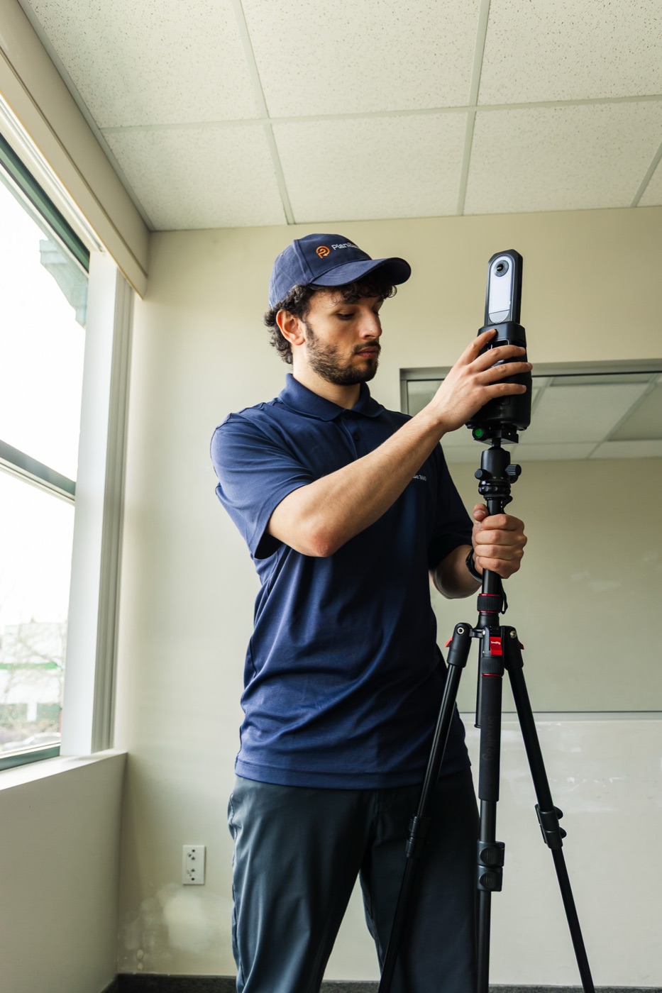
The building is scanned with an iGUIDE PLANIX at ±10mm. Coverage is planned so the areas that will drive design decisions are fully captured, not just the easy ones.
Scan positions are registered into a single coordinate system, then modelled in Revit against that data. Every element is placed from measurement.
The .rvt model, typically alongside layered DWG and PDF plans, lands within about a week of the scan. Floor plans and the 3D tour arrive sooner, usually in one to two business days.
There is a real difference between a Revit file that was traced over a scanned PDF and one that was modelled against registered point cloud data. The first inherits every error in the source drawing and adds a few. The second is measured. What we deliver is the second.
Scan-to-BIM earns its cost when the model is going to be used. If your team designs in Revit, coordinates with consultants in Revit, or is producing construction documents from a shared model, then starting from modelled existing conditions saves work immediately and keeps saving it.
If the project is a straightforward test fit, a leasing exercise, or a documentation set for the building file, a measured floor plan and layered CAD usually does the job for less. We would rather tell you that than sell a model that will sit unopened.
Tell us the version your team is working in when you book and we will deliver to match, so nobody has to upgrade a project file to open it.
The point cloud is the dataset we model from, and what you receive is the Revit model along with drawings and CAD. If your team wants the registered scan data to reference inside their own environment, raise it when you book and we will scope it in.
The underlying measurements are captured at ±10mm. How closely the model follows that data depends on the agreed level of detail: a model built for feasibility is deliberately simplified, while one built for construction coordination follows the scan much more tightly.
Yes. Scoping to a single suite, floor or zone is common, particularly on tenant improvement work where the rest of the building is not in play.
Around a week from scan to delivered model for a typical commercial scope. Larger buildings and higher levels of detail take longer, and we will tell you the timeline before you book rather than after.
Book online with an instant estimate, and tell us the level of detail your team needs.