
Design time goes to design
The two-to-three days of site measurement and the drafting week after it come off the project entirely. Your team opens a file that is already correct.
For architects · Metro Vancouver
Existing conditions are survey work, and survey work billed at design rates is the quietest way a project loses money. We capture the building so your team can start at the part they were hired for.
Every renovation, adaptive reuse and tenant improvement project starts the same way: somebody has to establish what is actually there. Traditionally that is a junior architect with a laser distance meter, a clipboard and two days, followed by a week of drafting a base set that the whole project will then be designed against.
It is the least leveraged work in the office. It is billed at architectural rates or absorbed into fee, it produces no design value, and the accuracy it achieves is bounded by how carefully someone held a tape at four in the afternoon on the second day.
It is also where a specific and expensive class of error is introduced. Hand measurement accumulates: each dimension is taken from the last, so small errors compound across a floor plate. The result closes on paper because someone made it close. The building does not care.
The two-to-three days of site measurement and the drafting week after it come off the project entirely. Your team opens a file that is already correct.
An error in the base set is not contained. It travels into the design, the consultant coordination, the permit set and eventually the field. Fixing it at the source is the cheapest fix available.
Columns, slab edges and shafts in older buildings are routinely off from the original drawings. Capture puts them where they are, before a design is committed around where they were supposed to be.
The iGUIDE 3D tour is a navigable record of the space. Most of the questions that would otherwise mean a return trip get answered from a desk.
Plans, RCPs, elevations and sections all come out of the same scan, so they agree with each other by construction rather than by someone checking.
Existing-conditions capture is a line item with a number attached before it starts, instead of an open-ended internal cost absorbed into design phase.
Typically engaged at the very front of schematic design, before the first base file exists.
Which sheets, whether the output is layered DWG or a Revit model, what level of detail, and which CAD standard your office works to. We scope from that.
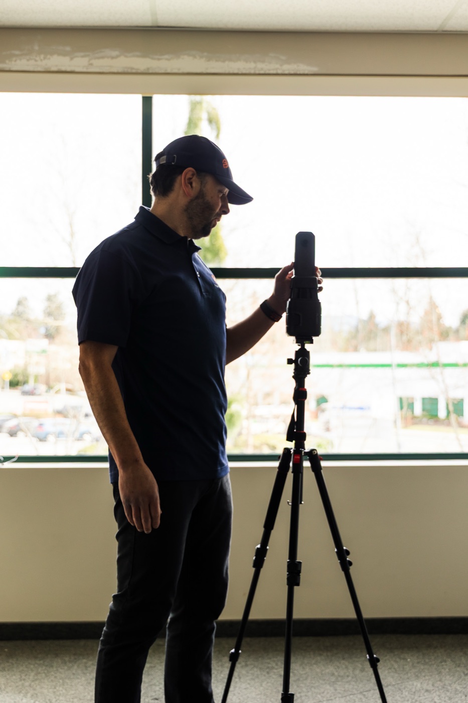
LiDAR at ±10mm. Occupied and tenanted space is worked around; the building does not need to be emptied and the tenant does not need to be displaced.
Dimensioned plans and the 3D tour typically land in one to two business days, so early massing and test-fit work can start before the full set exists.
Layered CAD or the Revit model, in your standard, in about a week for a typical commercial scope.
We are not architects and we do not design. We produce measured documentation of what exists, and we do not offer opinions on code compliance, permit strategy, or what a project is required to do — those belong with you and with the authority having jurisdiction. The deliverable is a factual record of the building, which is exactly the thing that is useful to have from a party with no stake in the design.
The older the building, the wider the gap between the drawings and the reality, and the more valuable a measurement becomes. Vancouver has a lot of commercial stock that has been through several fit-outs, at least one structural intervention, and a change of use, with the drawing set updated for approximately none of it.
Scanning handles irregular geometry well precisely because it does not need the building to be orthogonal to record it. Out-of-plumb walls, non-parallel demising lines, floors that step, and rooms that are not rectangles all come back as what they are rather than as the tidy version a hand measurement tends to produce.
Rather than describe it, here is a real set: floor plans, the 3D tour and the measured areas from a delivered project.
Opens the sample page — floor plans, an iGUIDE tour and the measured output from real work.
Yes. Tell us the Revit version your office works in and the level of detail the project needs, and the existing conditions arrive as a modelled .rvt rather than a drawing set. The scan-to-Revit page covers what is and is not modelled.
Send your layer standard, template or a sample drawing when you book and the deliverable comes back in it. If your office does not have a documented standard, we deliver in a clean conventional layer structure.
Only what is in scope. Scanning a single suite or floor without touching the rest of the building is routine, particularly on tenant improvement work.
Yes, and most of our commercial work is occupied. The equipment is set up and moved through the space without clearing furniture or shutting the tenant down.
The deliverable is the drawings or model rather than the raw data by default. If your team wants the registered scan data to reference in their own environment, raise it when you book and it gets scoped in.
Across Metro Vancouver and the Fraser Valley — Burnaby, Richmond, Surrey, Delta, Langley, Coquitlam, New Westminster, the North Shore and out to Abbotsford and Chilliwack.
Book online with an instant estimate. Tell us the format and standard your office works in.