
The ceiling carries the project
Suspended grid, light fixtures, diffusers, sprinkler heads and the bulkheads between them. Office work lives above the ceiling line more than below it, which is why the reflected ceiling plan is rarely optional here.

Office Buildings & Suites · Metro Vancouver
Office space is documented more often than any other commercial building type and trusted less than almost any of it. Suites get subdivided, ceilings get reworked, and the drawing on file quietly stops describing the room. We scan the floor as it stands today and deliver a measured set the whole team can work from.
An office floor is a moving target. A single floor plate can turn over three or four times in a decade, and each fit-out moves demising walls, rebuilds the ceiling grid, relocates the data room and reworks the lighting layout. The structure barely changes. Almost everything inside it does.
What usually survives that process is the original construction set, sometimes with a few tenant layouts stacked on top of it in a folder nobody has opened in years. It describes a building that existed once. It does not describe the one your designer is about to plan, your contractor is about to price, or your leasing agent is about to market.
The gap tends to stay invisible until it costs money. A demising wall that sits eighteen inches off the lease exhibit. A ceiling height that will not clear the ductwork a new layout depends on. A column the plan shows in the wrong bay. None of these are dramatic on their own, and all of them are expensive once drawings have been issued.
An as-built survey resets the baseline. Instead of inheriting an assumption, the project starts from a floor that was actually measured.
Every building type has its own awkward parts. On an office floor, these are the ones that decide whether the drawing set holds up.
Suspended grid, light fixtures, diffusers, sprinkler heads and the bulkheads between them. Office work lives above the ceiling line more than below it, which is why the reflected ceiling plan is rarely optional here.
Multi-tenant floors have boundaries that matter legally as well as physically. Measuring where the wall actually stands, rather than where a lease exhibit drew it, settles a question that otherwise surfaces during negotiation.
Elevator lobbies, washrooms, stairs, electrical and janitorial rooms are common area. Separating them cleanly from the leasable floor is the difference between a usable area figure and a guess.
Underside of the grid, underside of structure, and the bulkheads that interrupt both. A layout that fits the nominal ceiling height can still fail under a duct run nobody drew.
Data rooms, electrical panels, mechanical zoning and floor boxes cluster in ways that constrain where workstations and meeting rooms can realistically go.
Most office documentation happens with staff at their desks. The capture has to work around people, furniture and confidentiality rather than assuming an empty room.
The same specification applies whether it is one suite or a full multi-storey floor plate.
The site work is deliberately undramatic. Nothing gets switched off and nobody has to leave.
We agree which suites, corridors, service rooms and core areas are in scope, and which need building access or a tenant's permission. On multi-tenant floors that access list is usually the part that takes longest to arrange, so it happens first.
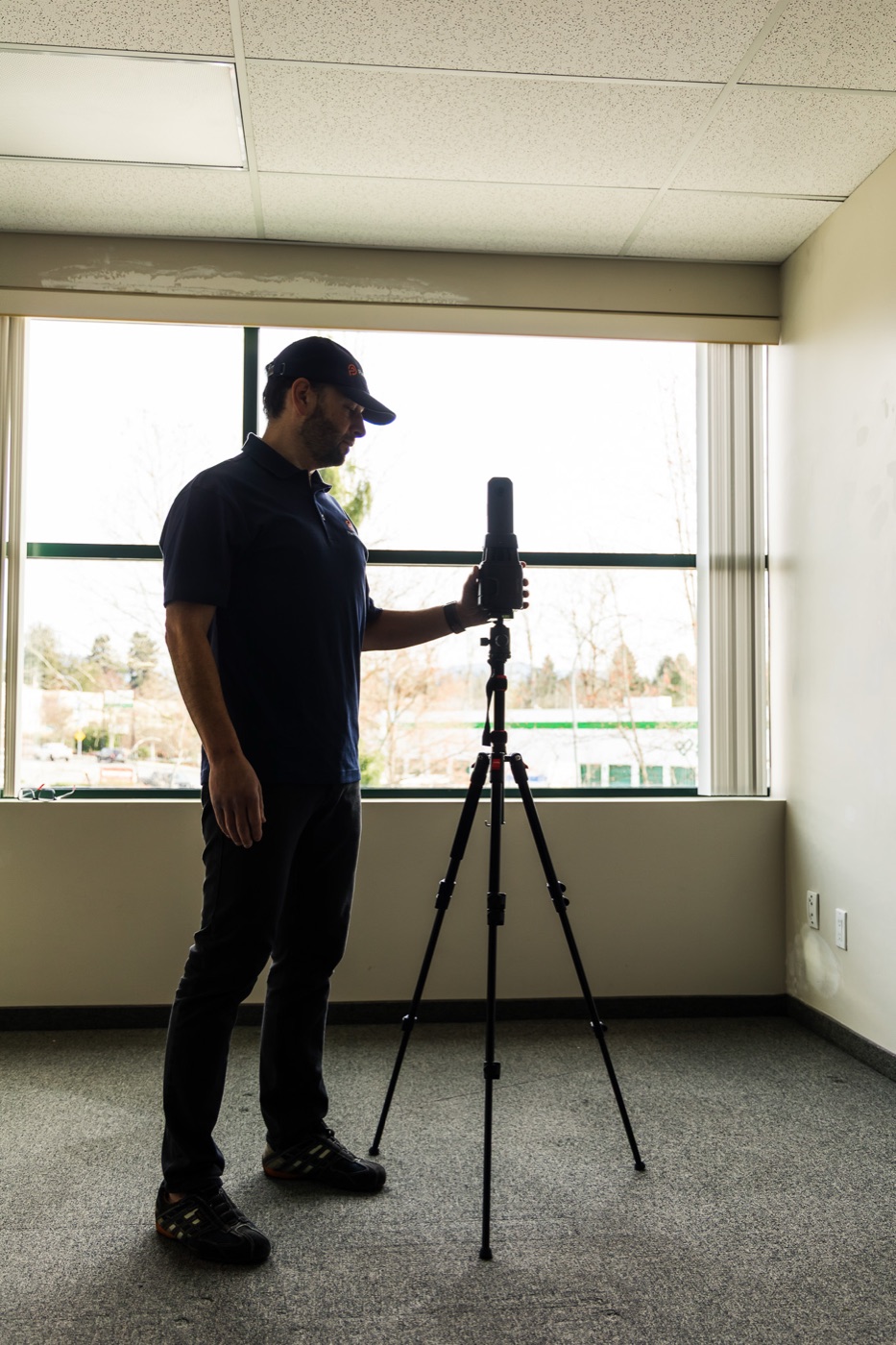
The iGUIDE PLANIX moves through the floor one setup at a time, capturing LiDAR geometry and 360° imagery together. An operator walks the space; there is no cabling, no rigging and no interruption to the working day.
Grid, fixtures, diffusers, sprinklers and heights are recorded in the same pass rather than as a second visit. That is what makes a reflected ceiling plan possible without going back.
Plans are drawn from the point cloud and imagery, not traced from an older drawing. Where a previous set disagrees with what was measured, the measurement wins and the discrepancy gets flagged rather than smoothed over.
PDF plans and a walkable 3D tour first, then DWG for the drafting team and a Revit model where the project is running in BIM.
The right level of detail depends on what the drawing has to survive. Cost tracks floor area and scope; the booking tool prices it instantly.
Area calculation to a published standard is handled separately, because which standard applies depends on the lease rather than on the scan.
We do not need the floor cleared, the lights changed or the systems taken offline. The scanner is tripod-mounted and moves room to room with one operator, so the disruption is a person walking past a desk. Where a tenant needs the space untouched during business hours — trading floors, medical or legal suites, anywhere with confidentiality constraints — we schedule evenings or weekends instead. Faces and screens in the 360° imagery can be blurred on request.
Interior designers and architects use it as the base drawing for the space plan, which is the point at which accurate dimensions change the most decisions. A test fit that works on a measured plan works in the room.
General contractors use it to price and to establish what was there before demolition. Once the ceiling comes down, the only record of what was above it is the one taken beforehand.
Property managers and asset teams use it as the current building record — the drawing that gets handed to the next consultant instead of the folder of superseded sets.
Leasing agents and landlords use it for marketing plans and for a defensible area figure. A floor plan that matches the space a prospective tenant walks through is a quietly persuasive thing to hand them.
The sample set is an actual delivered project rather than a brochure mock-up — plans, 3D tour and the measured data behind them.
Opens the sample project on this site.
Yes, and most office scans happen exactly that way. The scanner is tripod-mounted and moved by a single operator, so nothing needs to be switched off and nobody has to leave their desk. Where confidentiality or client-facing space makes daytime work awkward, we schedule outside business hours instead, and faces or screens visible in the 360° imagery can be blurred.
Yes. RCPs are included in the Shell 360 and Full 360 packages, and on office work they are usually the deciding reason to choose one of those over Base 360. Grid, fixtures, diffusers, sprinkler heads and ceiling heights are captured in the same site visit as the floor, so no second visit is required.
Area calculation is a separate deliverable that runs off the same scan. Which standard applies — BOMA or another — depends on the lease and on what the parties have agreed, so that is a question for the landlord, the leasing team or the lease itself rather than something we determine. Our part is producing measured boundaries the calculation can be trusted to run on.
Treat landlord drawings as a reference rather than as measurements. They are frequently the original construction set, often predate one or more fit-outs, and rarely reflect ceiling work done since. The demising walls, the suite area and the ceiling condition are the three things most worth verifying before a design or a lease depends on them.
A typical suite or floor is a few hours, depending on how compartmented it is — a floor cut into many small offices takes more scan positions than an open plan of the same area. Floor plans and the 3D tour are usually ready one to two business days later, with CAD and BIM following within about a week.
Yes. Multi-floor and whole-building captures are scanned to the same specification throughout, which matters more than it sounds: consistent measurement across every floor is what lets areas be compared and stacked without reconciling three different survey methods.
Book the scan online with an instant estimate. Plans and the 3D tour in one to two business days, CAD and BIM within the week.