

For commercial landlords · Metro Vancouver
Floor plans for commercial landlords
A manager uses the drawing set this month. A landlord uses it for the length of a ten-year term, and then again with the tenant after that. The set is not an operating expense — it is part of the record of the asset.
- Demising plans
- BOMA 2017 areas
- Dated condition record
The landlord's copy of the building is a different document
Most of the drawings that circulate around a commercial building are working documents. A contractor's markup, a designer's base plan, a manager's PDF for a trade quoting a repair. They are produced for one job, they are accurate enough for that job, and they are discarded or quietly inherited by the next person who needs something to draw on.
The landlord's copy is not that. It is the document a premises definition gets drawn from, the one an area figure has to be reconcilable to, and the one somebody will go looking for at the end of a term to establish what the space was like before a tenant took it. It gets referred to by people who were not involved when it was made, years after the fact, in conversations where being approximately right is not useful.
That difference is worth stating plainly because it changes what the set has to be. A working drawing needs to be good enough to build from this quarter. An owner's set needs a stated basis, a date, and enough underlying record that a question asked in year six can be answered without going back into the building.
Where the set gets used across a lease
The same measured record does different work at each stage of a tenancy. This is why it is captured once and kept, rather than commissioned per transaction.
- 01
Before the space is marketed
A plan and a walkable 3D tour exist the day a suite comes available, so the listing goes out with real dimensions instead of a redrawn approximation and a promise to measure later.
- 02
While the deal is negotiated
A prospect's designer can test-fit against measured geometry rather than an inherited PDF. Fewer deals stall on a plan that turns out not to match the space when somebody finally walks it.
- 03
At the point the premises are defined
The demising plan attached to a lease describes what is being let. Drawing it from a measured survey means the boundary on the exhibit and the boundary in the building are the same boundary.
- 04
When the area figure is set
Rentable and usable areas calculated to a named standard from measured data, with the derivation recorded — rather than a number carried forward from a previous lease whose origin nobody can reconstruct.
- 05
Before the tenant's work starts
A capture taken before a fit-out is a dated record of the base building condition. It is the only version of that record that can still be made.
- 06
At the end of the term
Reinstatement and make-good conversations turn on what was there at the start. A scan and imagery from before the fit-out are evidence of the condition on the day they were taken.
An area figure is a multiplier, and it runs for the whole term
Rent, operating cost recoveries and a tenant's proportionate share of the building are all calculated from an area. Whatever that figure is, it is applied every month for the length of the term and, in practice, carried into the negotiation for the term after it. It is one of the few numbers in a commercial building that repeats without ever being re-examined.
The problem is rarely that a figure is wildly wrong. It is that its basis is unknown. A number gets inherited from a prior lease, which took it from a marketing brochure, which took it from a drawing set produced before two of the demising walls moved. Nobody has done anything unreasonable, and yet there is no answer to the question of which standard it was calculated under, at what date, from what geometry.
Measuring to BOMA 2017 from a current survey does two things: it gives the figure a stated standard and a date, and it makes the calculation reproducible. If a tenant's advisor questions the number, the answer is a derivation rather than a search through old files.
Which standard belongs in a given lease is not our call, and this page does not make it. Leases name different standards, including earlier BOMA editions and bespoke definitions written into a particular document, and they sometimes say things about measurement that override the standard entirely. That question belongs with your leasing counsel or broker. What we do is measure the building and calculate to the standard the lease actually names.
What each document does
Landlords tend to need a small, specific set of things from a survey. It is worth being clear about which document answers which question.
| Document | The question it answers | Where it usually ends up |
|---|---|---|
| Measured floor plan | What is actually there, and at what dimensions | The base for every other drawing, and for a designer's test fit |
| Demising plan | Where the boundary of the premises runs | Attached to the lease as an exhibit, drawn by whoever prepares it |
| Area schedule to BOMA 2017 | Rentable and usable area, on a stated basis | Rent calculation, recoveries, and the building's own area record |
| 3D tour and imagery | What the space looked like on a given date | Marketing while vacant; a condition record afterwards |
| Layered CAD or a Revit model | A file a design team can build on without redrawing | Handed to a prospect's architect or your own consultant |
| Registered scan data | Everything the survey recorded, at source | Scoped on request rather than supplied by default |
Measured floor plan
- The question it answers
- What is actually there, and at what dimensions
- Where it usually ends up
- The base for every other drawing, and for a designer's test fit
Demising plan
- The question it answers
- Where the boundary of the premises runs
- Where it usually ends up
- Attached to the lease as an exhibit, drawn by whoever prepares it
Area schedule to BOMA 2017
- The question it answers
- Rentable and usable area, on a stated basis
- Where it usually ends up
- Rent calculation, recoveries, and the building's own area record
3D tour and imagery
- The question it answers
- What the space looked like on a given date
- Where it usually ends up
- Marketing while vacant; a condition record afterwards
Layered CAD or a Revit model
- The question it answers
- A file a design team can build on without redrawing
- Where it usually ends up
- Handed to a prospect's architect or your own consultant
Registered scan data
- The question it answers
- Everything the survey recorded, at source
- Where it usually ends up
- Scoped on request rather than supplied by default
Not every building needs all of it. The usual owner's set is measured plans, areas and the tour, with CAD or a model added when a specific project calls for one.
The condition record only exists if it is made first
Almost everything else on this list can be produced late. A floor plan can be measured next month. An area schedule can be recalculated. A CAD file can be drawn from a survey taken at any point.
The state of a suite before a tenant's work is different: once the fit-out is built, that record cannot be made any more. Whatever was not captured is gone, and the conversation at the end of the term proceeds from memory, from photographs somebody took on a phone, and from a drawing set that may or may not describe the base building as it actually stood.
A scan taken during the vacancy costs a single site visit and produces a dated, dimensionally accurate record of the space before the tenant touched it. Landlords who scan between tenancies are usually not thinking about make-good when they book it — they are thinking about marketing the vacancy. The condition record is a by-product of a visit that had its own reason to happen, which is what makes it cheap to have.
We record what the building was like. We do not interpret what a lease requires anyone to restore it to — that sits with your counsel and with the parties to the lease.
How a building gets documented
For an owner the useful part is that this costs a booking and an access arrangement, and nothing else in between.
Scope is set against what the building is for
Whether this is one vacant suite, a full floor, the common areas, or the whole building. What matters is which areas the figures and the drawings will need to cover later, not only which ones are empty today.
Access is arranged around the occupancy
We coordinate directly with your manager, the tenant or building operations. Occupied space is normal — the capture works around staff, furniture and stock rather than requiring the floor to be cleared.
The building is captured at ±10mm
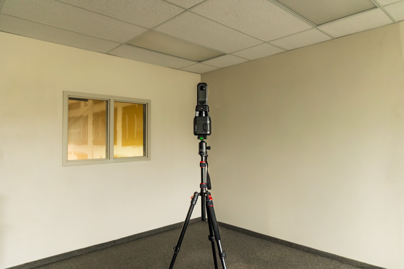
LiDAR survey with an iGUIDE PLANIX, planned so ceiling heights, column locations and demising conditions are recorded properly rather than only the open floor.
Plans and the tour arrive first
Dimensioned floor plans and a walkable 3D tour land one to two business days after the visit, which is what leasing usually needs immediately.
Areas and files follow
BOMA 2017 area calculations, layered DWG or a Revit model inside about a week, depending on what was scoped.
The record stays available
Questions that come up later get answered against the captured record rather than by sending someone back to the building.
We measure the building. We do not advise on the lease
We are not architects, lawyers or brokers. We do not draft lease language, take a position on what a premises definition should say, advise on code or permit strategy, or opine on what a tenant owes at the end of a term. Those belong with your counsel, your broker, your architect and the authority having jurisdiction. What we produce is a factual, dated, dimensioned record of the building — which is more useful precisely because it has no stake in the negotiation.
Multi-tenant floors and buildings held for the long term
A single-tenant building can survive on the drawings the last project produced. A multi-tenant floor accumulates a problem instead: each fit-out is documented by a different consultant, to a different standard, at a different date, and the only complete picture of the floor is the union of several drawing sets that do not agree with each other at the demising walls.
Capturing the floor as one survey removes the seams. Every suite, corridor and service space is measured in the same visit, on the same basis, and the areas across the floor are calculated together — so the parts add up to the whole, which is not something separate consultant sets can be relied on to do.
For an owner holding several buildings, the argument is consistency rather than accuracy alone. When each asset is documented in a different format, on a different standard, at a different vintage, portfolio-level questions become research projects. One convention across the holdings makes the answer a lookup.
What comes back
- Survey accuracy
- ±10mm LiDAR
- Plans and 3D tour
- 1–2 business days
- Area standard
- BOMA 2017
- File formats
- PDF, DWG, RVT
Booking with a number rather than a quote request
Owners deciding whether to document a building are usually weighing it against other calls on the same capital, often at the point a suite has just gone dark and the decision has to be made this week. A quote request that takes three days to come back is a decision deferred.
The survey is booked online with an instant estimate, so the cost of documenting a given space is visible while the decision is still being made rather than after. Cost is driven mostly by area, how the space is subdivided, and how far the deliverable goes past plans — a walkthrough of a single vacant suite is a different job from a full-building set with areas and a model.
Capture runs across Metro Vancouver and the Fraser Valley — Vancouver, Burnaby, Richmond, Surrey, Delta, Langley, Coquitlam, New Westminster, the North Shore, and out to Abbotsford and Chilliwack. For landlords that usually means offices, warehouses, retail, flex space and mixed commercial floors.
See an owner's set before commissioning one
It is reasonable to want to see the actual output before putting a crew in a building. This is a real delivered set, not a portfolio image.
Opens the sample page — floor plans, an iGUIDE 3D tour and measured areas from delivered work.
What clients say
We have multiple warehouses that need to be leased out from time to time. For our most recent listing, we engaged PlanBase 360 to come in and generate accurate measurements for all the rooms and a 3D walkthrough.
This will allow interested parties to take a close look at the location virtually before scheduling a site visit.
The granularity of the measurements will also allow prospects to imagine how their business will fit into their new space.
The PlanBase team was excellent. They were in and out in no time and I had all my deliverables the next day.
Will definitely use them again.

Mark Sippola
Local Guide
Common questions
It depends on what the existing set is and when it was made. The questions worth asking are whether it reflects the fit-outs done since, whether the areas on it have a stated standard and date behind them, and whether anyone can reconstruct how those areas were calculated. If the answer to all three is yes, the set is doing its job. If it is a PDF of unknown vintage, a current survey replaces guesswork with a record.
We produce measured plans showing the demising conditions as they exist, which is what an exhibit gets drawn from. Where the boundary of the premises should sit, and how it is described in the lease, is a matter for the parties and their counsel — we document the building, not the agreement.
BOMA 2017 by default, and to whichever standard the lease names when it names a different one. What matters more than the choice is that the standard and the date are stated on the output, so the figure can be reproduced later rather than inherited.
Occupied is normal. The capture works around staff, furniture and stock. A vacancy is worth using when one exists, because an empty suite records the base building on its own — but waiting for one is not necessary.
Yes. Layered DWG or a Revit model of existing conditions is a standard deliverable, and it is what a design team needs to test-fit or document without redrawing the space first. It gets scoped at booking rather than added afterwards.
It is available and scoped on request rather than supplied by default. Most owners are better served by the drawings, areas and the 3D tour, which are usable without specialist software. If your consultant works in point cloud natively, raise it when the scope is set.
It depends on area, how the space is subdivided and how far the deliverable goes beyond floor plans. The booking tool gives an instant estimate for a given space rather than a quote request, so the number is available while the decision is being made.
Keep reading
Document the building once, use it for every tenancy
Book the survey online with an instant estimate, and tell us which areas the record needs to cover.